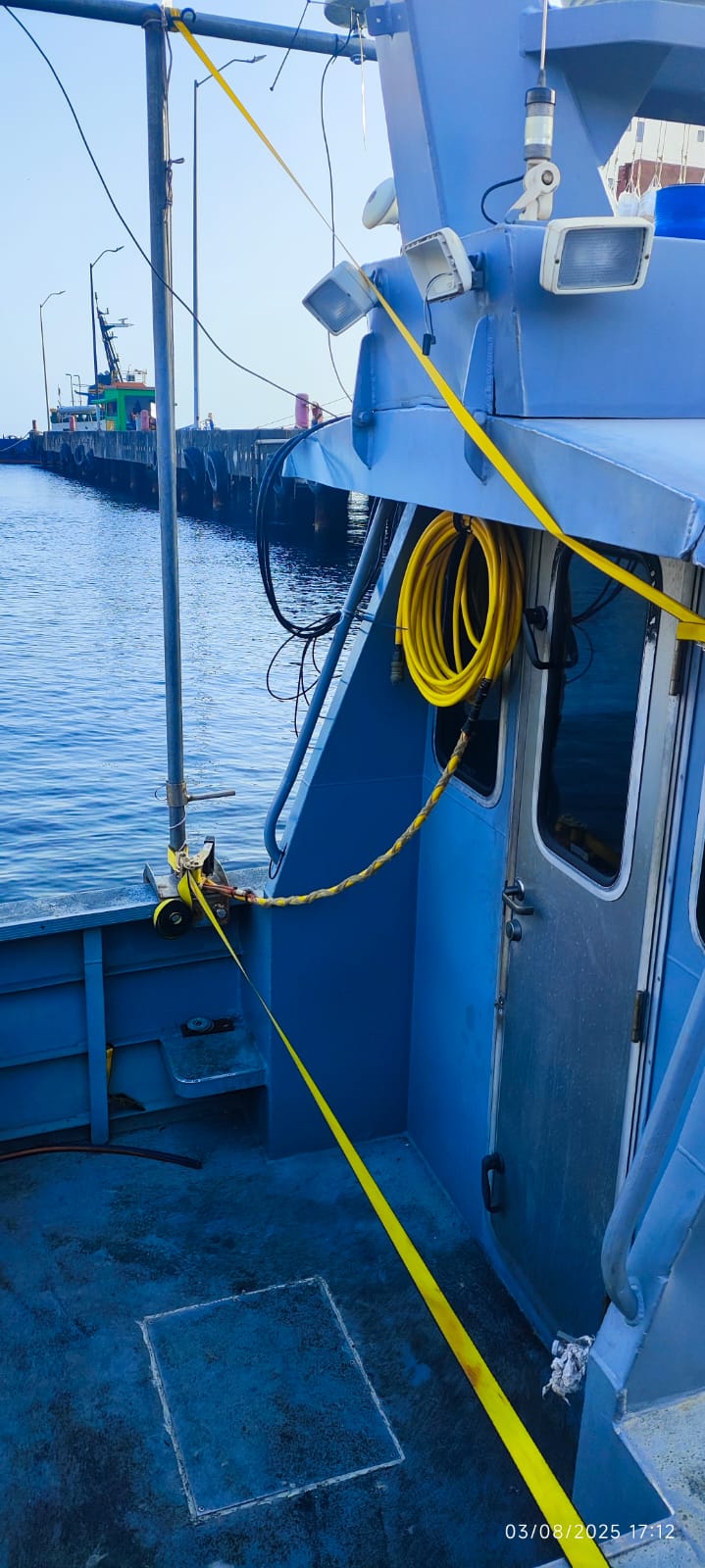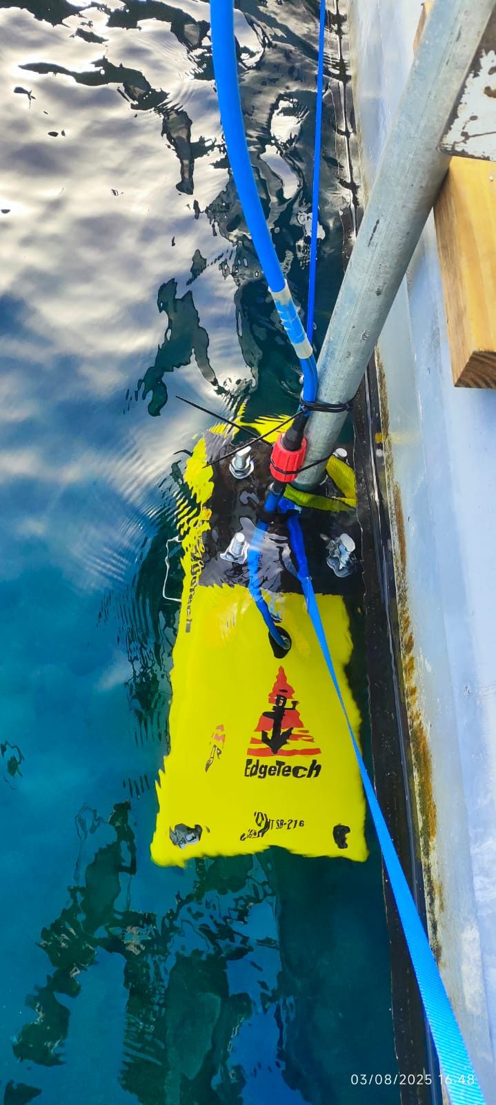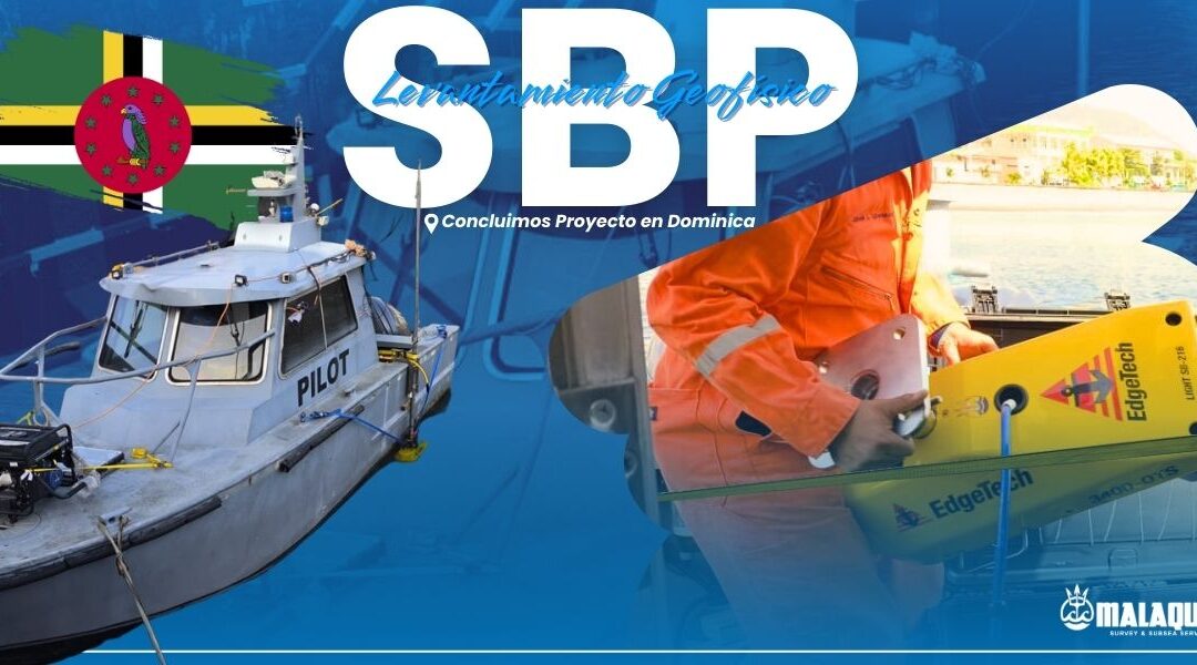
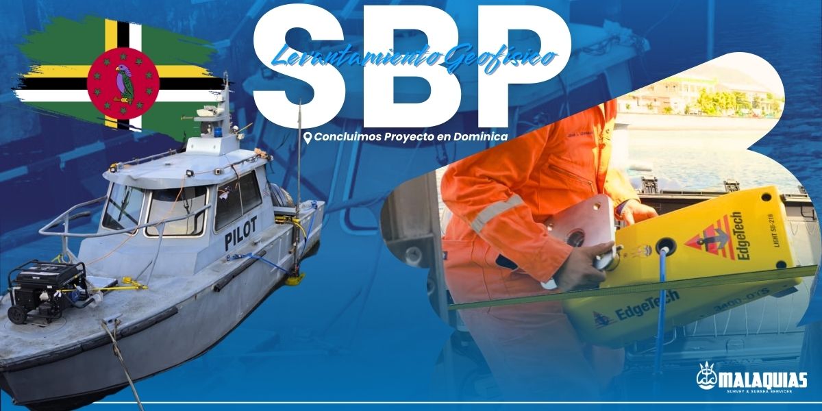
The service consists of conducting high-resolution bathymetric surveys using a Sub Bottom Profiler (SBP) to obtain detailed mapping of the seabed relief and characteristics. The measurements were taken aboard the Woodbridge Bay Pilot Boat, operated by specialized personnel, following technical protocols for geophysical data acquisition.
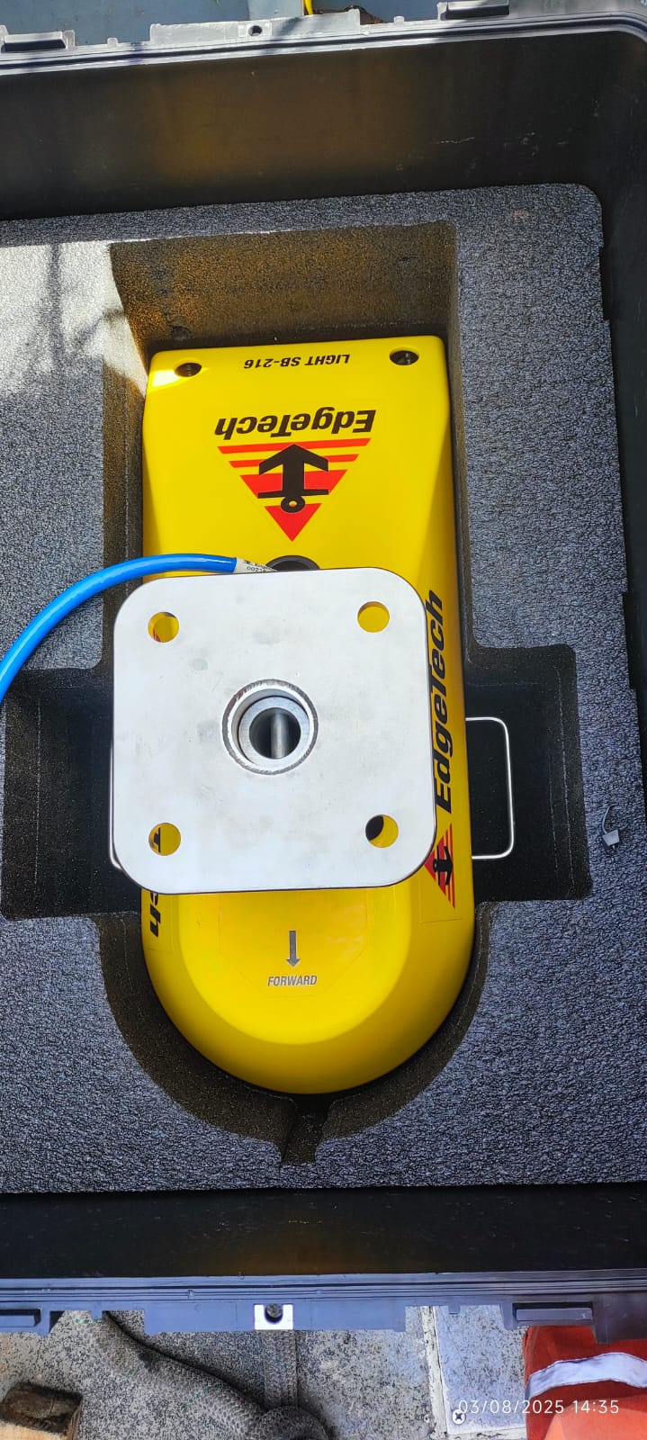
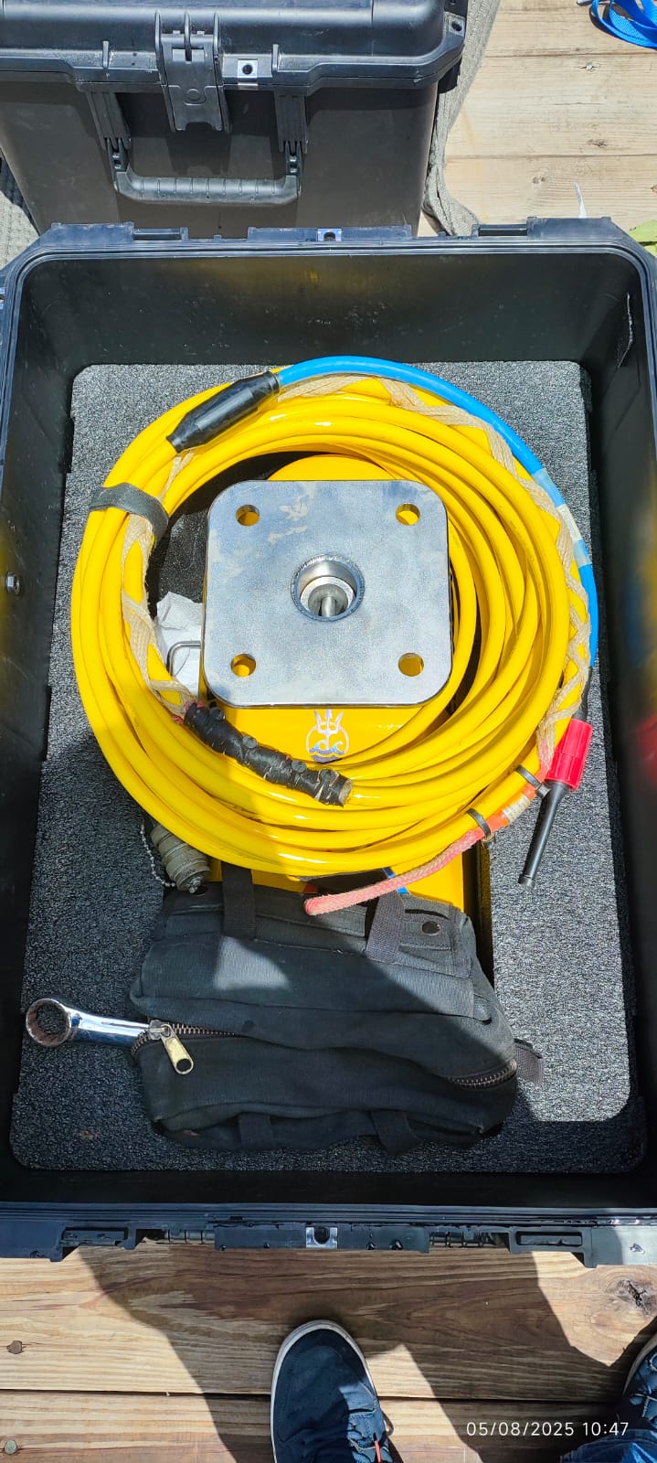
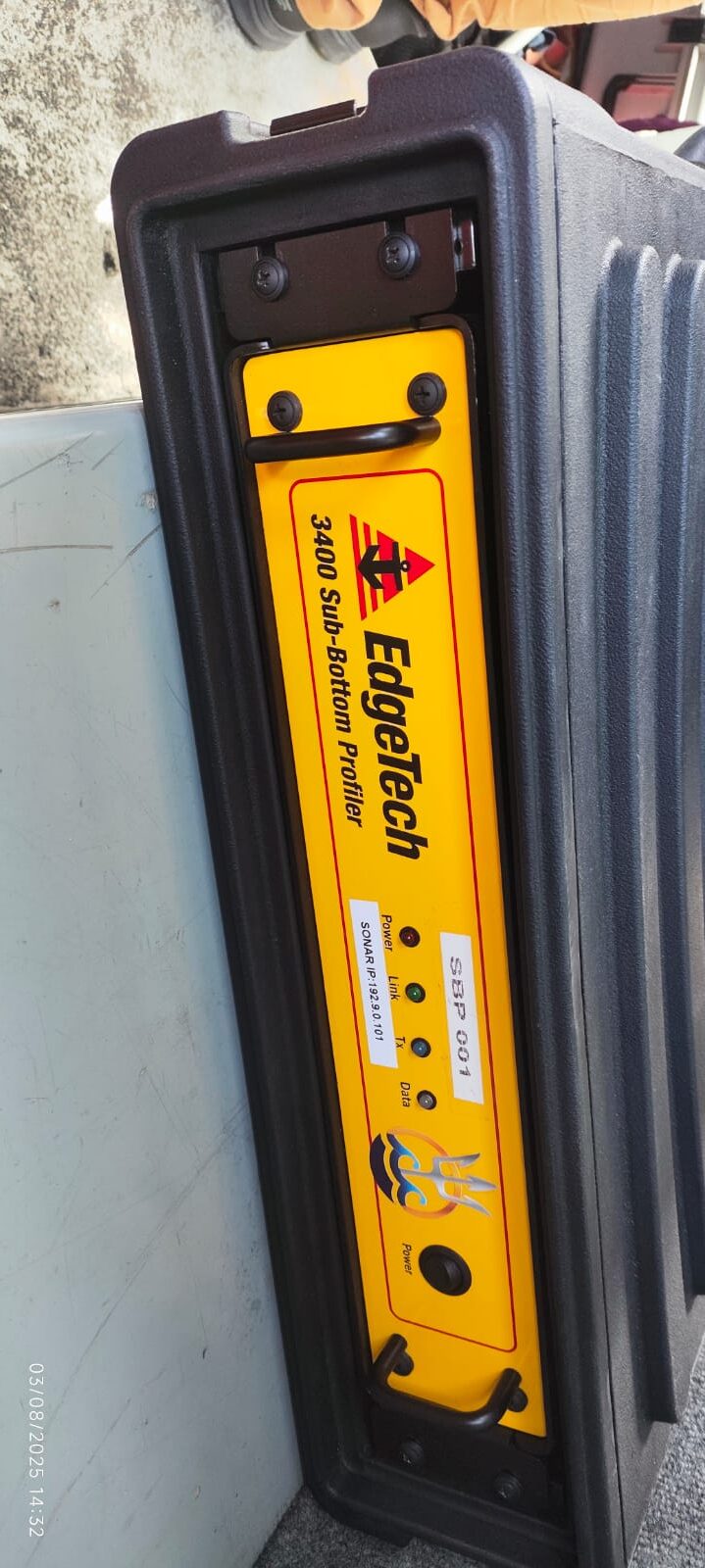
Service: Rental of Sub Bottom Profiler (SBP) Geophysical Equipment with Operator.
Main Activity: Seabed mapping using the Sub Bottom Profiler (SBP).
Specialized personnel: Senior Surveyor by Malaquias Subsea.
Vessel: Woodbridge Bay Pilot Boat.
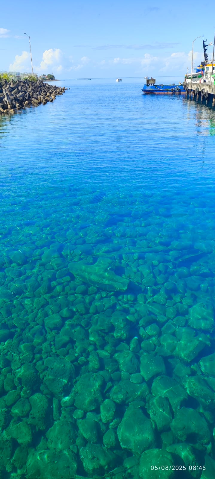
Location: Dominica.
At Posicionamientos Marinos Malaquías, we work to high quality standards and have the logistical and international coordination capabilities necessary to execute projects anywhere in the world.
Sub Bottom Profiler (SBP)
A Sub Bottom Profiler (SBP) is a geophysical device that uses acoustic waves to obtain images and profiles of the layers of sediment and rock beneath the seabed or riverbed.
¿How does it work??
- Acoustic signal emission
- Sediment penetration
- Reception and registration
- Interpretation
Main applications::
Environmental impact studies.
Geotechnical studies for the construction of piers, platforms, and underwater pipelines.
Location of buried objects or structures.
Analysis of sediments and erosion/accumulation processes.
Underwater archaeological research.